South Lake Tahoe › West: California, United States
![]() South Lake Tahoe, মার্কিন যুক্তরাষ্ট্র
South Lake Tahoe, মার্কিন যুক্তরাষ্ট্র
Real-Time Environment
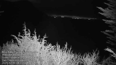
Welcome to the live streaming webcam for South Lake Tahoe › West: California, United States, perfectly situated in the vibrant region of South Lake Tahoe, মার্কিন যুক্তরাষ্ট্র. Watching this live camera allows you to instantly experience the local atmosphere and monitor current climate conditions.

About South Lake Tahoe, California
South Lake Tahoe is the most populous city in El Dorado County, California, United States, in the Sierra Nevada mountains. The city's population was 21,330 at the 2020 census, down from 21,403 at the 2010 census. The city, along the southern edge of Lake Tahoe, extends about 5 miles (8 km) west-southwest along U.S. Route 50, also known as Lake Tahoe Boulevard. The east end of the city, on the California–Nevada state line right next to the town of Stateline, Nevada, is mainly geared towards tourism, restaurants, hotels, and Heavenly Mountain Resort with the Nevada casinos just across the state line in Stateline. The western end of town is mainly residential, and clusters around "The Y", the intersection of US 50, State Route 89, and the continuation of Lake Tahoe Boulevard after it loses its federal highway designation.
📖 Read more on Wikipedia📍 Location Facts
-
Country
 মার্কিন যুক্তরাষ্ট্র
- Region ক্যালিফোর্নিয়া
- City South Lake Tahoe
- Coordinates 38.9286°N, -120.0123°E
Have you been to South Lake Tahoe?
Help the community! Share your experience, tell us about the weather, or upload your own photos from this exact location.